
I.V. and UCSB Arrest Map
Below is an arrest map that monitors all arrests made on the UC Santa Barbara campus and in the Isla Vista community. Each point shows a location in which an individual was arrested, along with their age, school affiliation (if applicable), city of residence and charges.
The slider can be adjusted to view arrests over different time periods.
This crime map was originally launched during summer 2018 on Google Maps. To display more data, the Nexus relaunched the crime map through Mapbox in summer 2020. It is updated regularly by the Nexus data team.
You can download and further explore the data used in the crime map here.
Additional note: It is Nexus policy to check if any college-aged individuals who are arrested are students at UCSB.
More from Daily Nexus
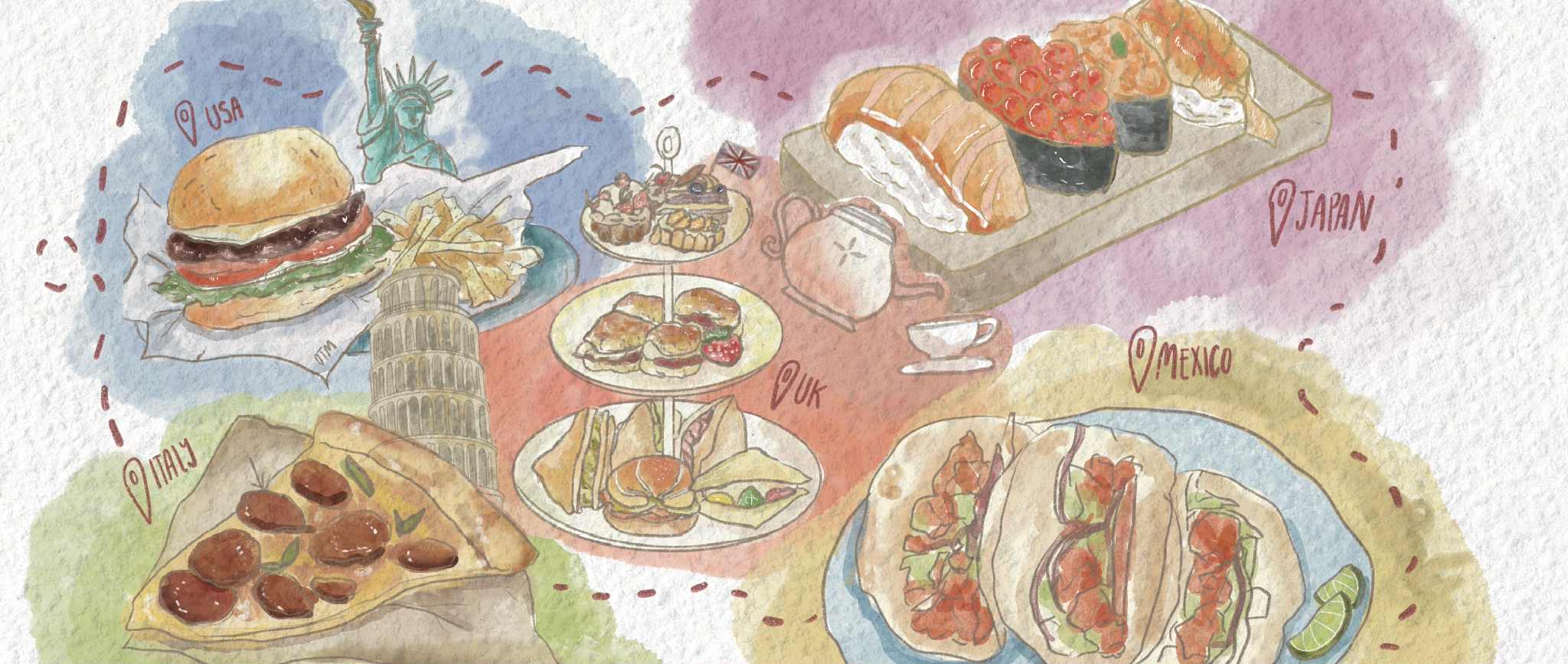
On the Menu Digital Map

Labyrinth: Grades Search

Video


Aries
March 21 - April 19
"Holes"

Taurus
April 20 - May 20
"The Sandlot"

Gemini
May 21 - June 20
"Goodwill Hunting"

Cancer
June 21 - July 22
"How to Train Your Dragon"

Leo
July 23 - August 22
"Dead Poets Society"

Virgo
August 23 - September 22
"The Karate Kid"

Libra
September 23 - October 22
"Ladybird"

Scorpio
October 23 - November 21
"Perks of Being a Wallflower"

Sagittarius
November 22 - December 21
"The Edge of Seventeen"

Capricorn
December 22 - January 19
"Up"

Aquarius
January 20 - February 18
"Mid90s"

Pisces
February 19 - March 20
"Little Women"